Lot 51
[RUSSELL, John C. (ca 1750-1829)]
Sale 503 - Fine Books and Manuscripts
Sep 13, 2017
9:59AM
Live / 1338 West Lake Street
Own a similar item?
Estimate
$2,500 -
3,500
Lot Description
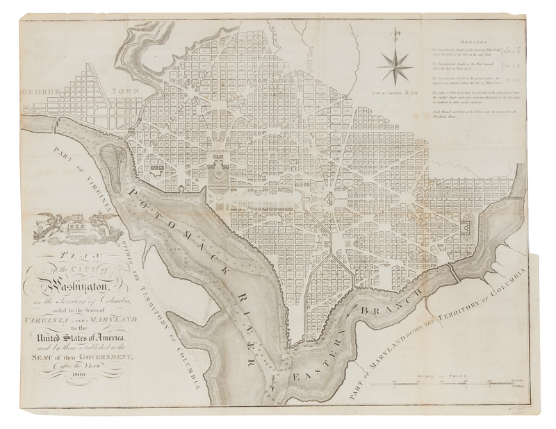
[RUSSELL, John C. (ca 1750-1829)]
Plan of the City of Washington in the Territory of Columbia, ceded by the states of Virginia and Maryland to the United States of America, and by them established as the Seat of their Government, after the Year 1800. [London, 1795].Engraved folding map of Washington D.C., image 398 x 520 mm (414 x 530 sheet). Decorative cartouche, compass rose. (Trimmed close touching border, a few short tears to folds, some light browning.) First English printing Andrew Ellicott's1792 plan based on Pierre L'Enfant's design for the city. The cartouche incorporates George Washington's coat-of-arms. Engraved by Russell and issued with John Reid's An American Atlas; the map was also included in William Winterbotham's An Historical, Geographical, Commerical and Philosophical View of the American United States. Phillips America 1363-9.
Condition Report
Contact Information

