Lot 50
RUSSELL, John C. (ca 1750-1829)
Sale 503 - Fine Books and Manuscripts
Sep 13, 2017
9:59AM
Live / 1338 West Lake Street
Own a similar item?
Estimate
$300 -
500
Price Realized
$188
Sold prices are inclusive of Buyer’s Premium
Lot Description
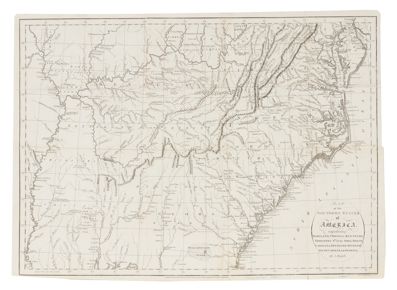
RUSSELL, John C. (ca 1750-1829)
Map of the Southern States of America, Comprehending Maryland, Virginia, Kentucky, Territory Sth: of the Ohio, North Carolina, Tennessee Governmt. South Carolina, & Georgia. London: H.D. Symonds, 1795.Engraved folding map of the Southern United States, image 361 x 502 mm (372 x 521 mm sheet). (A few short tears to folds, most repaired, with occasional small associated loss.) Native American reservations, bounty land grants, and mountain ranges, including the Appalachians and the Cumberland Mountains, are depicted in this post-Colonial map.
Condition Report
Contact Information

