Condition Report
Contact Information
Lot 3
Lot Description
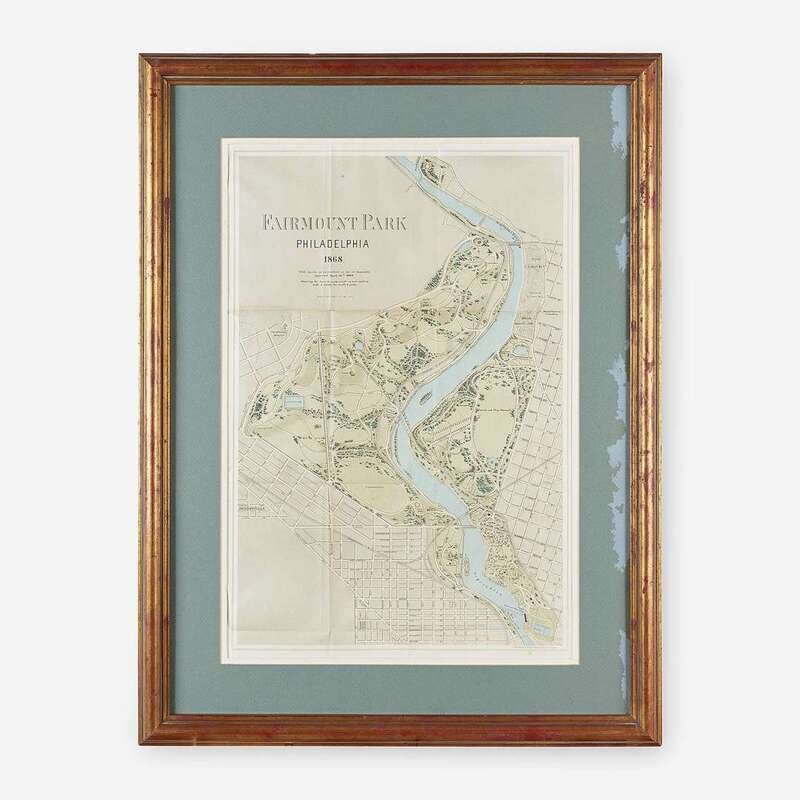
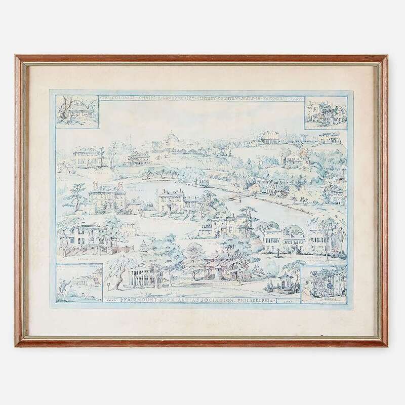
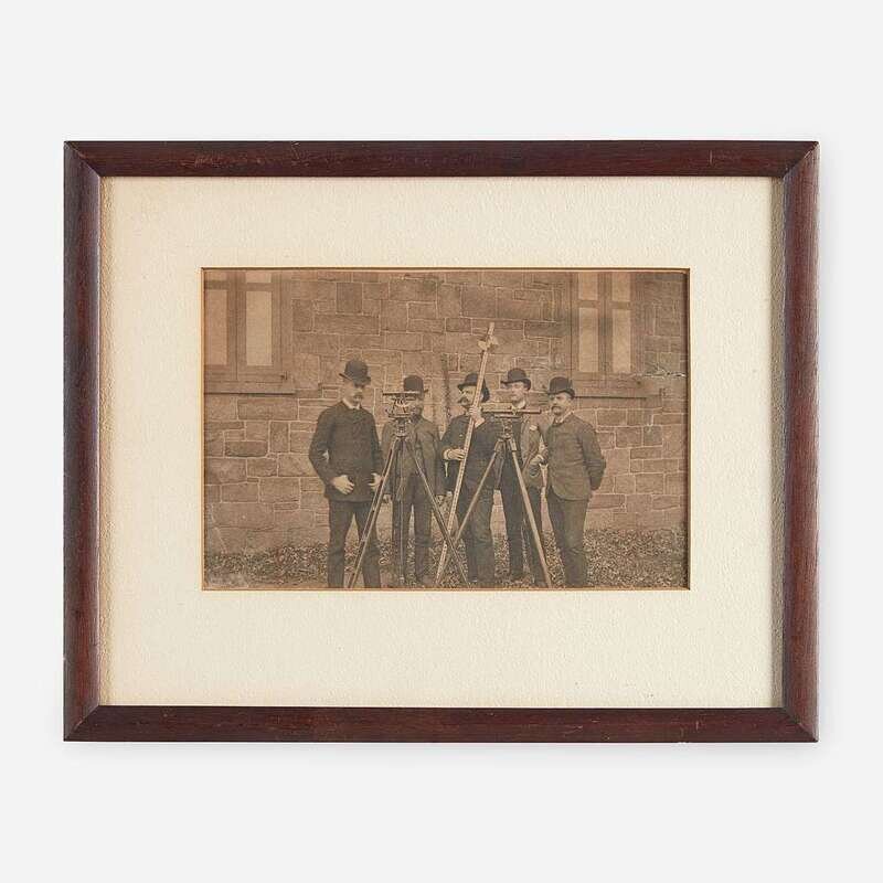
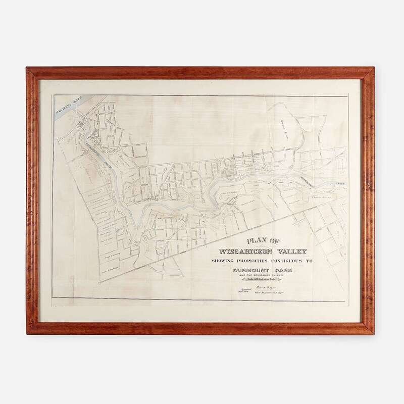
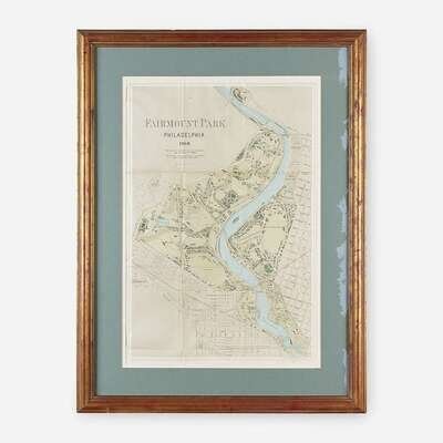
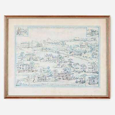
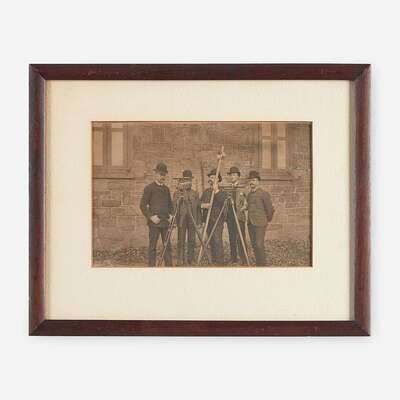
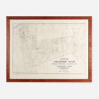
1. Photograph, ca. 1870s. Albumen print on card, depicting the Surveying Corps of Fairmount Park. 8 1/2 x 10 3/4 in. (215 x 273 mm). In frame. 2. Fairmount Park Philadelphia 1868. With Limits as Prescribed in Act of Assembly Approved April 14th 1868. Showing the Trees & Woods Nearly as Now Existing With a Study for Roads & Paths Philadelphia: Printed by F. Bourquin, (1869). Color lithographic map. 24 3/4 x 16 1/2 in. (628 x 419 mm) (sight). Short closed tears along left edge. Unexamined out of frame. 3. Plan of Wissahickon Valley Showing Properties Contiguous to Fairmount Park and the Boundaries Thereof 1896. Color lithographic map. Full map printed on two sheets, this map lacking right folding segment. 33 x 43 in. (838 x 1092 mm). In frame. Rare. 4. Sturges, Rosalind H. The Colonial Chain. A Group of 18th Century Country Seats in Fairmount Park Fairmount Park Association, Philadelphia, 1956. Color lithograph. Slightly faded. 22 1/2 x 28 3/4 in. (571 x 730 mm). Unexamined out of frame.
