Condition Report
Contact Information
Lot 269A
VANDERMAELEN, Philippe Marie Guillaume (1795-1869). 5 large-scale colonial maps of Texas. [Brussels]: H. Ode, April & June, 1825.
Sale 945 - Fine Printed Books & Manuscripts, Including Americana
Lots 1-307
Nov 9, 2021
4:00AM CT
Lots 308-687
Nov 10, 2021
4:00AM CT
Live / Chicago
Own a similar item?
Estimate
$1,500 -
2,500
Price Realized
$3,750
Sold prices are inclusive of Buyer’s Premium
Lot Description
VANDERMAELEN, Philippe Marie Guillaume (1795-1869). 5 large-scale colonial maps of Texas. [Brussels]: H. Ode, April & June, 1825.
Comprising:
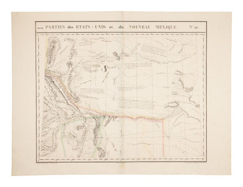
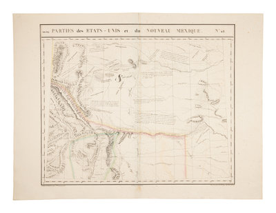
Amér. Sep. Parties des États-Unis et du Nouveau Mexique. No. 48. Showing parts of Colorado, Kansas, Nebraska, Texas, Oklahoma, and New Mexico.
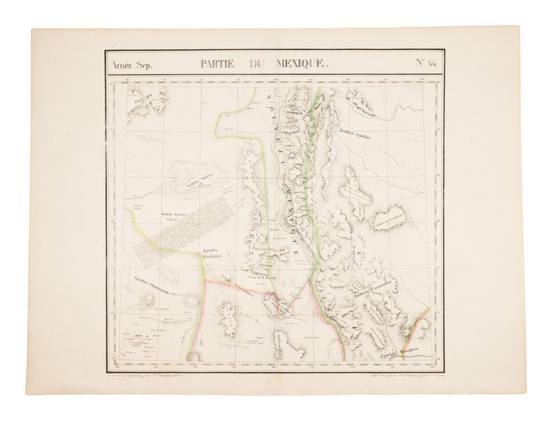
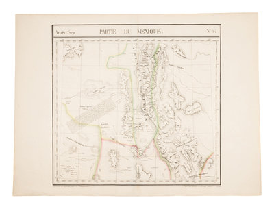
Amér. Sep. Partie du Mexique. No. 54. Borderlands including parts of New Mexico, Arizona, Texas, Sonora, and Chihuahua.
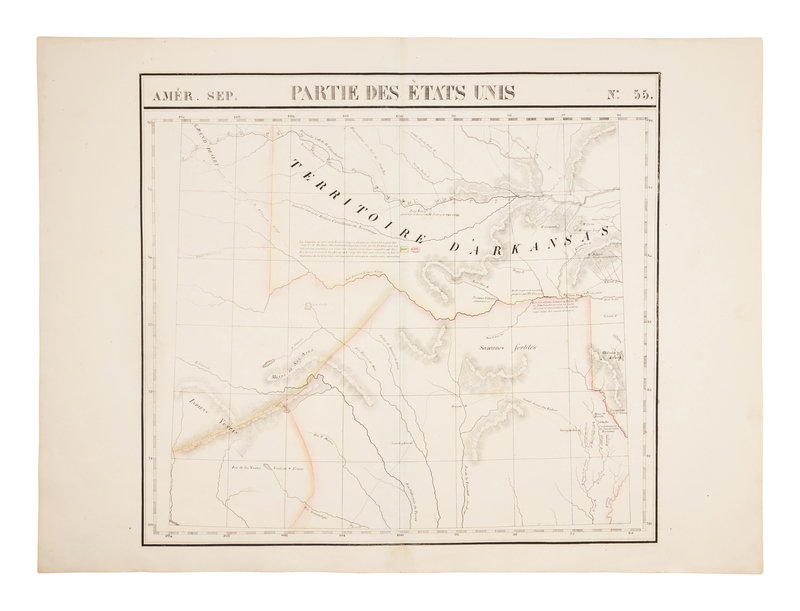
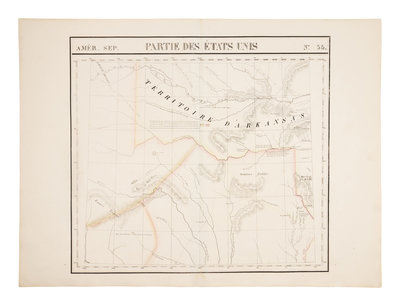
Amér. Sep. Partie des États-Unis. No. 55. Including southwest Oklahoma, and naming the panhandle "Grand Désert."
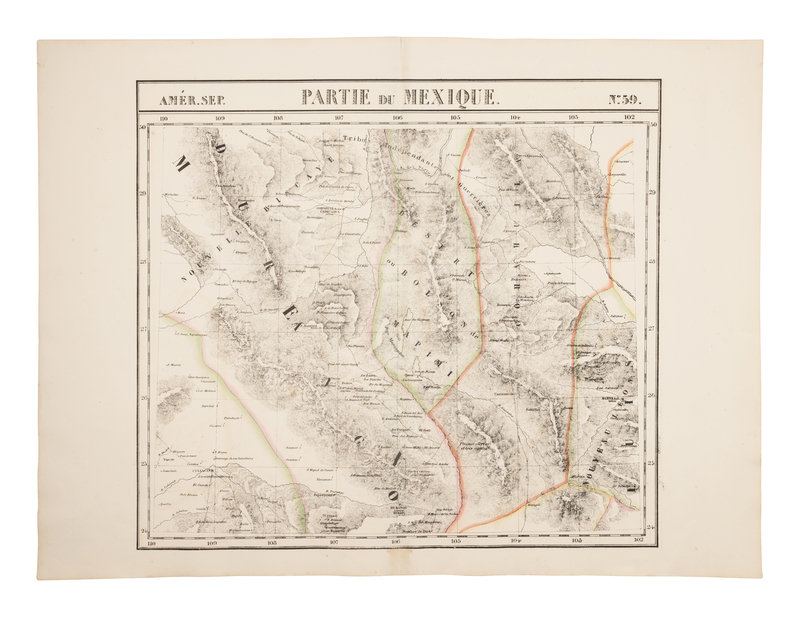
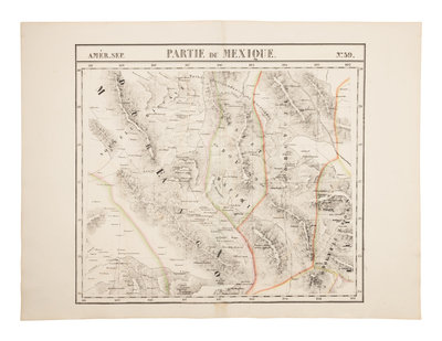
Amér. Sep. Partie du Mexique. No. 59. Including part of the Rio Grand and Big Bend, as well as Chihuahua, Coahuila, Nuevo Leon, Zacatecas, Durango, and Sinaloa.
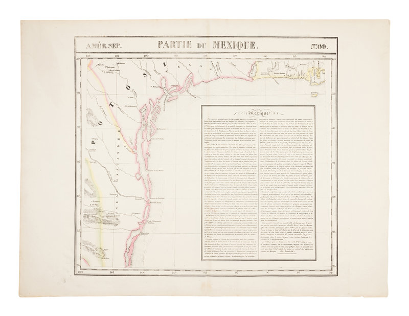
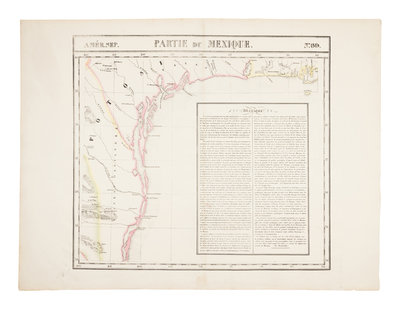
Amér. Sep. Partie du Mexique. No. 60. Showing the Texas coast. THE ONLY PRINTED MAP FROM THE COLONIAL PERIOD DEVOTED SPECIFICALLY TO THE TEXAS COAST.
Together, 5 lithographed maps with hand-coloring in outline, on wove paper, each 534 x 715 mm. (A few tiny marginal holes or short tears, reinforced verso along centerfold, some occasional very minor browning or staining, No. 48 with some overall pale spotting.) Provenance: Acquired Dorothy Sloan (11 December 2009, Sale 22, lot 369).
The maps appeared in Vandermaelen's Atlas Universel de Géographie, and comprise the first large-scale map of Texas printed at the time. According to Streeter: “The five only partly related sheets comprising the Texas region, though on a large scale, are difficult to assemble for a study of Texas as a whole, even when available as separates and not bound in an atlas. The entire Texas coast line, fortunately, happens to be shown on a single sheet (No. 60). It is apparent that for this, Maelen had not consulted either the Carta esférica que comprehende las costas del Seno Mexicano, Madrid, 1799 (entry No. 1029), or its main features as outlined in Humboldt’s Carte Générale…Nouvelle Espagne, Paris, 1809 (entry No. 1042), for he shows it as a jumble of islands dotting the coast from Galveston Bay (here called Baie Trinidad) to the mouth of the Rio Grande. The Canadian River running across the Texas Panhandle is correctly shown as flowing into the Arkansas, and a ‘Little Brazos’ running into the Brazos is shown and named. The San Antonio is still incorrectly represented as flowing into the Gulf of Mexico, instead of joining the Guadalupe many miles above. The few place names are poorly done, some apparently imaginary.” Streeter 1095 (listing all five maps).
Property from the Collection of Dr. Brant Mittler
