BRADFORD, Thomas Gamaliel (1802-1887). A Comprehensive Atlas Geographical, Historical & Commercial. New York: Freeman Hunt & Co, 1835.
Sale 945 - Fine Printed Books & Manuscripts, Including Americana
Lots 1-307
Nov 9, 2021
4:00AM CT
Lots 308-687
Nov 10, 2021
4:00AM CT
Live / Chicago
Own a similar item?
Estimate
$2,000 -
3,000
Price Realized
$2,813
Sold prices are inclusive of Buyer’s Premium
Lot Description
BRADFORD, Thomas Gamaliel (1802-1887). A Comprehensive Atlas Geographical, Historical & Commercial. New York: Freeman Hunt & Co, 1835.
Folio (323 x 262 mm). Engraved frontispiece, pictorial title-page, 10 engraved plates, and 66 engraved maps colored in wash and outline. (Some minor spotting or offsetting.) Original marbled boards (neatly rebacked).
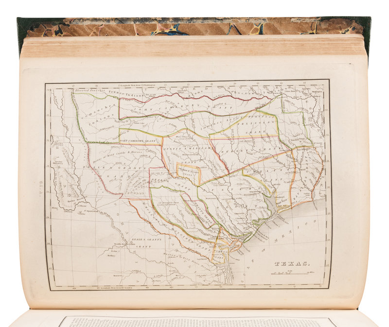
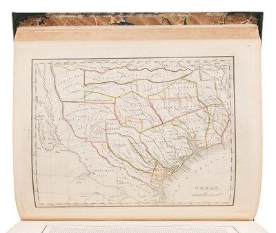
THE FIRST AMERICAN ATLAS TO INCLUDE A SEPARATE MAP OF TEXAS
Later (second?) edition of Bradford's folio atlas, preceded by an edition published in Boston in the same year. At least 4 versions of this atlas are dated 1835: the earliest, published in Boston, does not include a separate map of Texas, and later editions include only one page of descriptive text. The present copy includes the separate map of Texas paginated "64A," and two accompanying pages of text, paginated "64B" and "64C."The map of Texas, based on Stephen F. Austin's map, depicts land grants rather than counties. The city of Austin does not appear, but Austin's Colony is named, and the map of shows Mustang Wild Horse Desert shown in the south, the Nueces River as the southwestern boundary. Phillips Atlases 770; Sabin 7260; Taliaferro, Cartographic Sources in the Rosenberg Library 248 ("Evidently, not all copies of Bradford's atlas contained this map"); Wheat Transmississippi 408-410.
Property from the Collection of Dr. Brant Mittler
Condition Report
Auction Specialist

