Condition Report
Contact Information
Lot 59
MITCHELL, Samuel Augustus (1790-1868)
Sale 503 - Fine Books and Manuscripts
Sep 13, 2017
9:59AM
Live / 1338 West Lake Street
Own a similar item?
Estimate
$400 -
600
Price Realized
$375
Sold prices are inclusive of Buyer’s Premium
Lot Description
MITCHELL, Samuel Augustus (1790-1868)
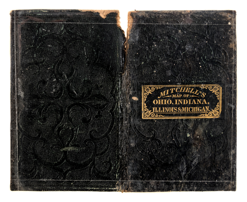
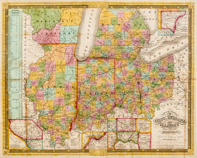
Map of the States of Ohio, Indiana and Illinois. Philadelphia, 1837.Hand-colored engraved folding map, disbound from 24mo black leather embossed binding with single letterpress leaf of census data tipped to front board (binding present), image 440 x 550 mm (452 x 562 mm sheet). Inset plans of the Detroit area, the Cincinnati area, the Falls of Ohio, and the "Lead Region East of the Mississippi" near Dubuque, inset list of steam boat routes. (Some chipping with loss to top portion of spine, a few light stains to folds.) Mitchell's map notes thousands of miles of canals, but few railroads, which would be much more prevalent by the 1860s.


