Condition Report
Contact Information
Lot 47
LAURIE, Robert (1755-1836) and James WHITTLE (d.1818)
Sale 503 - Fine Books and Manuscripts
Sep 13, 2017
9:59AM
Live / 1338 West Lake Street
Own a similar item?
Estimate
$1,000 -
1,500
Price Realized
$1,063
Sold prices are inclusive of Buyer’s Premium
Lot Description
LAURIE, Robert (1755-1836) and James WHITTLE (d.1818)
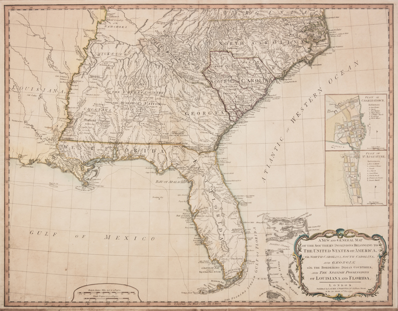
A New and General Map of the Southern Dominions Belonging to the United States of America, viz. North Carolina, South Carolina, and Georgia: with the Bordering Indian Countries, and the Spanish Possessions of Louisiana and Florida. London, 12 May 1794.Hand-colored engraved map of the southeastern United States, image 496 x 640 mm (512 x 657 mm sheet). Inset plans of St. Augustine and Charleston. (Some overall browning.) Second edition, first published in 1776, with the revised title naming the United States. Central Florida, which was largely unknown at the time, includes a mountain range called "The Great Sandy Ridge" as well as "Lake Mayaco."
Property from the Collection of Richard Coy, Ann Arbor, Michigan

