Condition Report
Contact Information
Lot 102
MEYER, Joseph (1796-1856)
Sale 503 - Fine Books and Manuscripts
Sep 13, 2017
9:59AM
Live / 1338 West Lake Street
Own a similar item?
Estimate
$1,500 -
2,500
Price Realized
$1,875
Sold prices are inclusive of Buyer’s Premium
Lot Description
MEYER, Joseph (1796-1856)
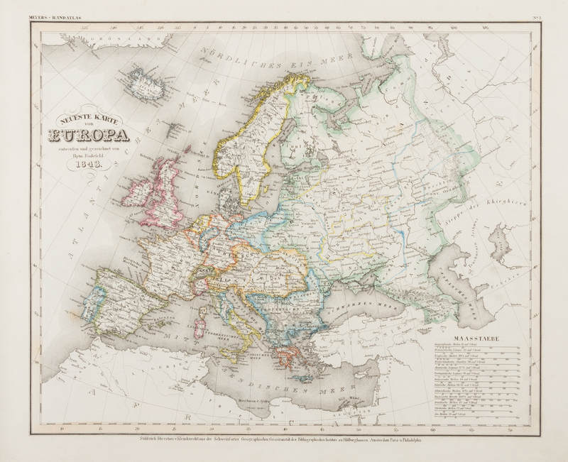
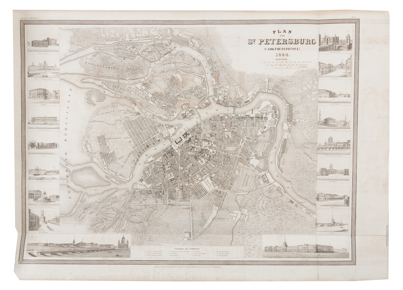
Grosser Hand-Atlas uber alle theile der erde in 170 karten. Hildburghausen: Bibliographischen Instituts, [1856?]. Oblong folio (365 x 470 mm). 170 engraved maps, many hand-colored. (Some light browning or staining.) Contemporary half brown calf, marbled boards (some overall light wear or rubbing.) The Grosser Atlas, in various forms, was published for nearly 150 years. It includes many detailed plans of American cities based on Tanner and Carey. Most maps are dated between 1844 and 1856, and the printed statistics leaf includes informaiton up to 1851.


