Condition Report
Contact Information
Auction Specialist
Lot 551
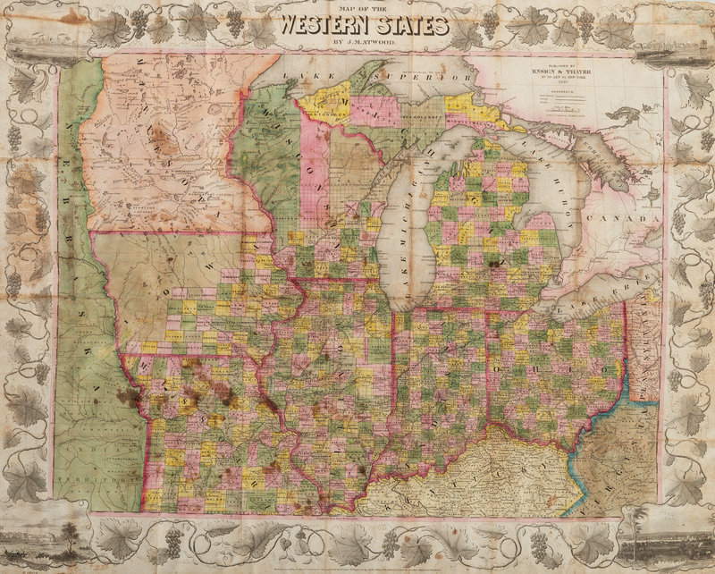
[MAPS]. ATWOOD, J.M. Map of the Western States.
Sale 1095 - American Historical Ephemera & Photography, Featuring Property from the James Milgram, M.D., Collection of Broadsides, Ephemeral Americana & Historical Documents
Day 1 Lots 1-403
Nov 3, 2022
10:00AM ET
Day 2 Lots 404-634
Nov 4, 2022
10:00AM ET
Live / Cincinnati
Own a similar item?
Estimate
$400 -
600
Price Realized
$438
Sold prices are inclusive of Buyer’s Premium
Lot Description
[MAPS]. ATWOOD, J.M. Map of the Western States.
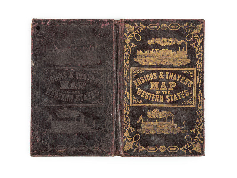
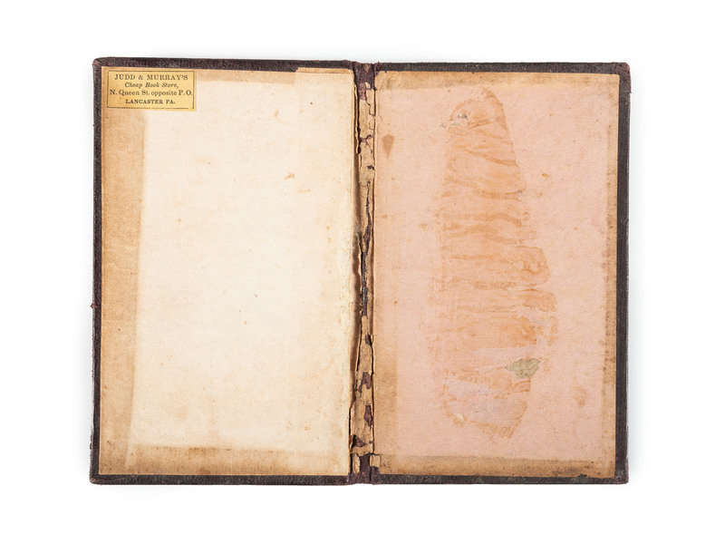
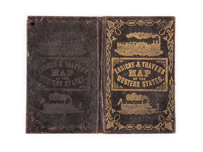
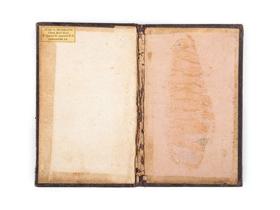
Lithographed map with original hand-coloring, 1849, image 22 3/8 x 17 1/8 in. (sheet 27 1/4 x 21 5/8 in.), Inset birds-eye-views of Cincinnati, St. Louis, Chicago, and Detroit at corners. (Toning along original folds, some brown spotting, short marginal tears.) Framed to 34 x 28 1/2 in. (not examined out of frame, map appears to be mounted to tissue). With original gilt cloth boards illustrated with a train and steamboat (separated from map). Identified as "western" the pre-Civil war map shows the Great Lakes region including the eastern edge of Nebraska territory. Provenance: Judd & Murray's, Lancaster, PA (bookseller label to inner board).
Property from the James Milgram, M.D., Collection of Broadsides, Ephemeral Americana, and Historical Documents
